A Different Perspective. Better Information.
SkyTech Drone Solutions was built with a simple goal: to give businesses a better way to see, document, and understand the properties, projects, and infrastructure they manage.
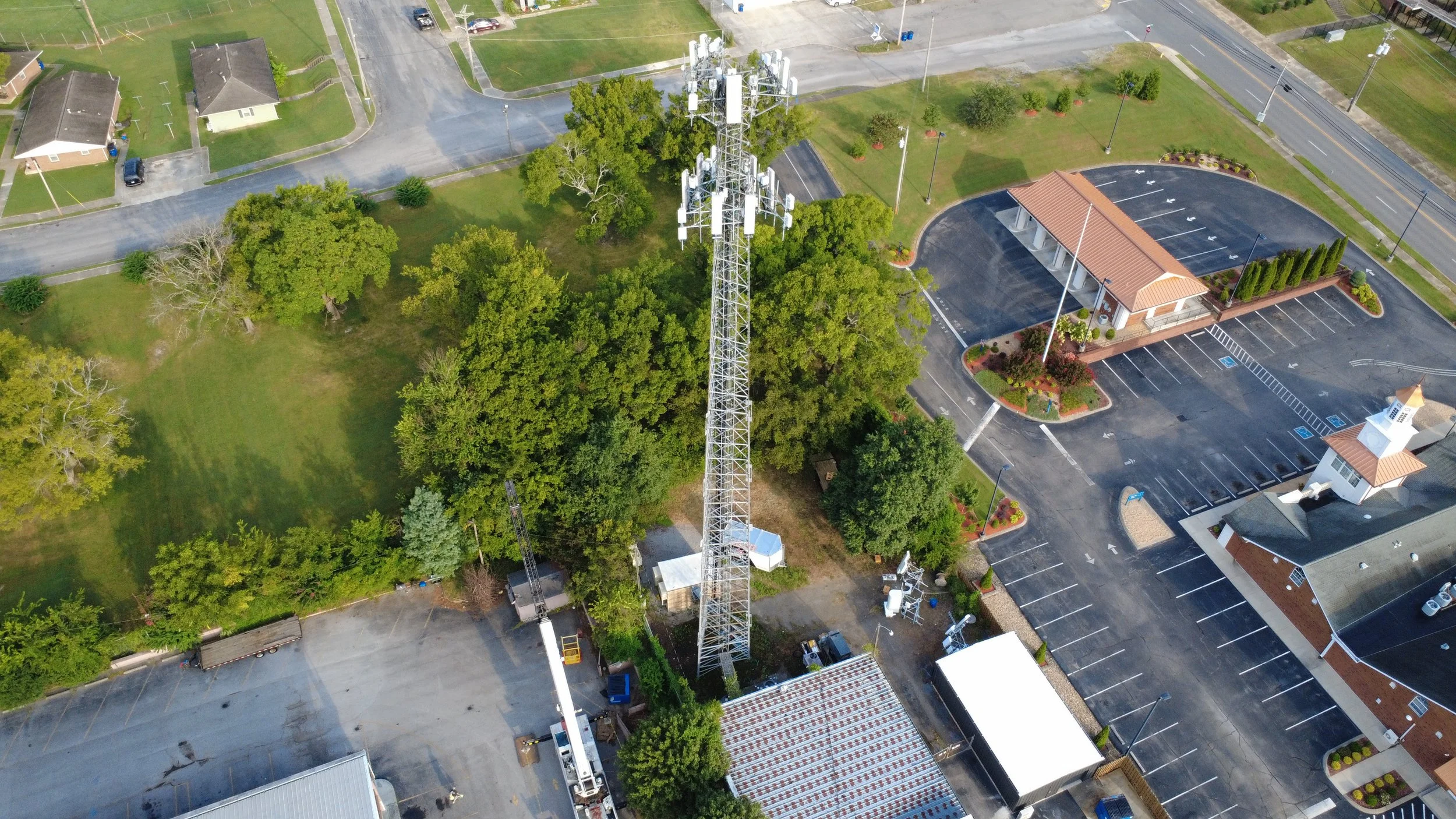
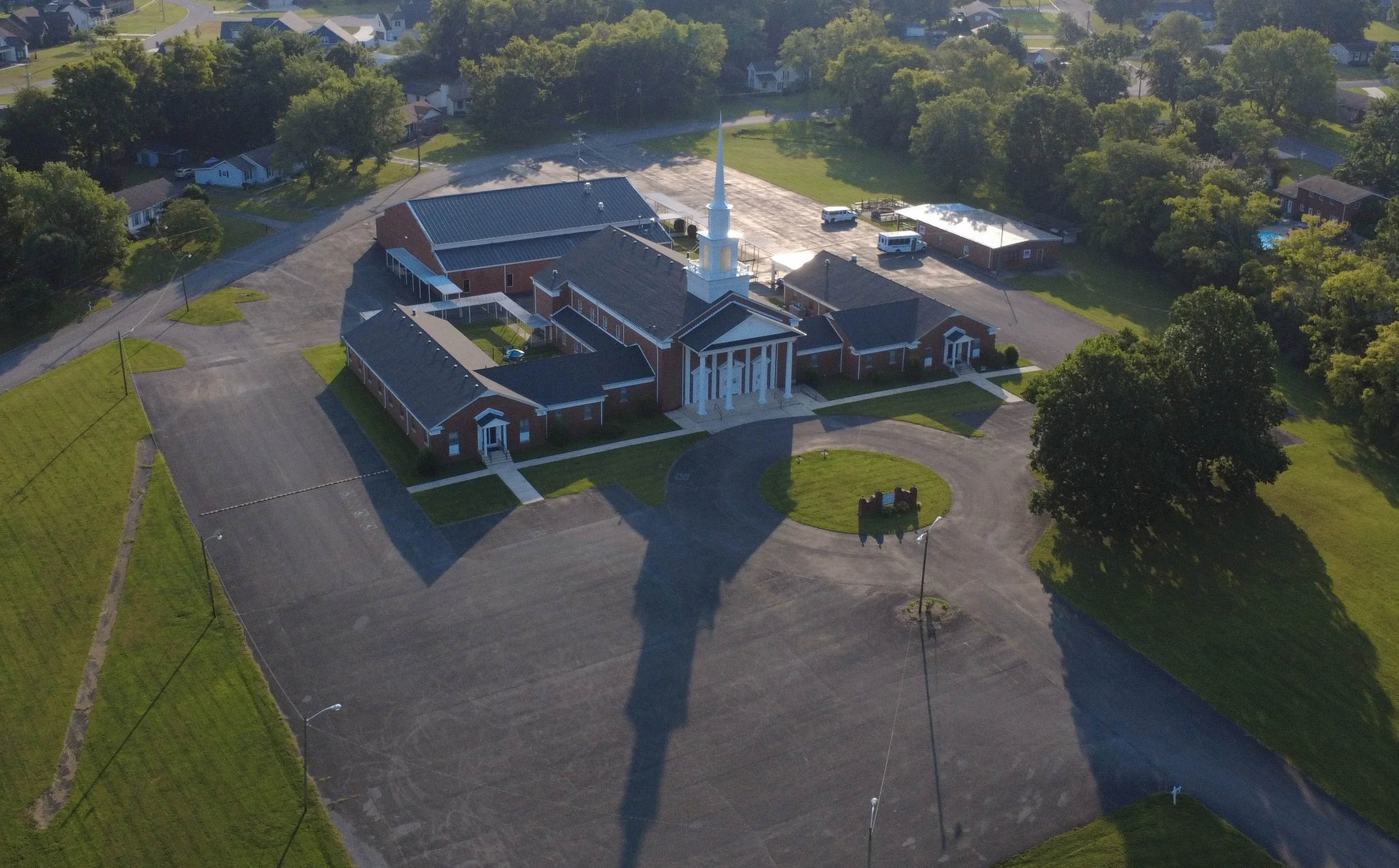
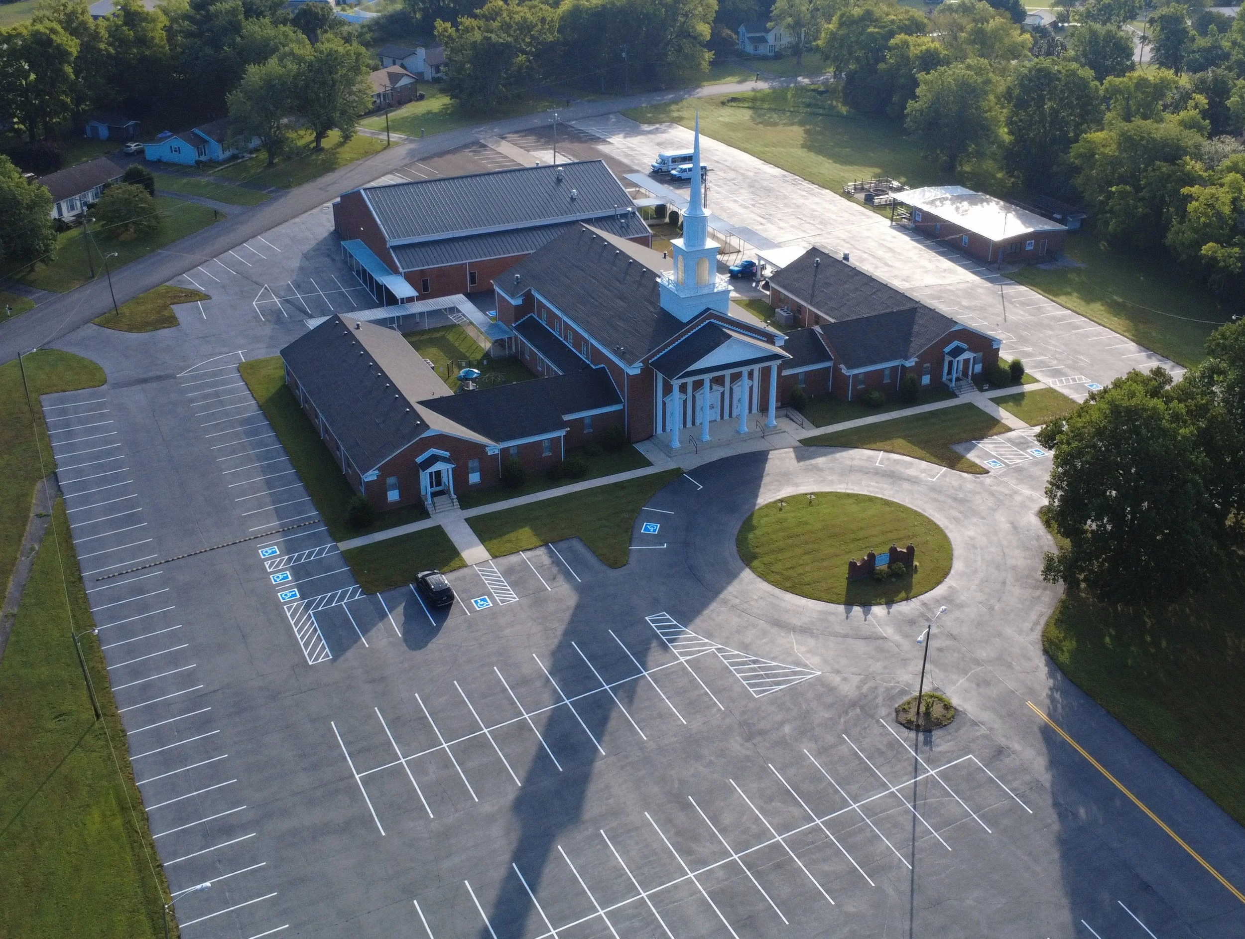
We provide professional drone services throughout Tennessee, specializing in aerial photography, mapping, construction documentation, infrastructure inspections, and property documentation. By taking the work into the air, we can capture areas that are difficult, time-consuming, or costly to document from the ground.
Built Around Practical Solutions
We believe drone technology should do more than produce impressive pictures. The information we collect should help our customers monitor progress, document conditions, plan projects, and make informed decisions.
Whether we're documenting a construction site, monitoring a property, capturing an orthomosaic, or providing aerial imagery of infrastructure, our focus is on producing clear, useful results that our customers can actually put to work.
Technology With a Purpose
Drone technology continues to advance rapidly, and so do the services we provide. We are continually developing our equipment, mapping capabilities, and workflows so we can offer our customers more valuable aerial data as their needs evolve.
Our goal is to build long-term relationships with the businesses we serve—not simply fly a drone, take some pictures, and leave. We want to become a reliable aerial data resource that our customers can call when they need a better view from above.
Let’s Put Our Drones to Work for You.
Whether you’re looking for aerial inspections, construction documentation, or professional drone photography, we’d like to hear about your project. Tell us what you’re working on, and let’s see how SkyTech Drone Solutions can help.